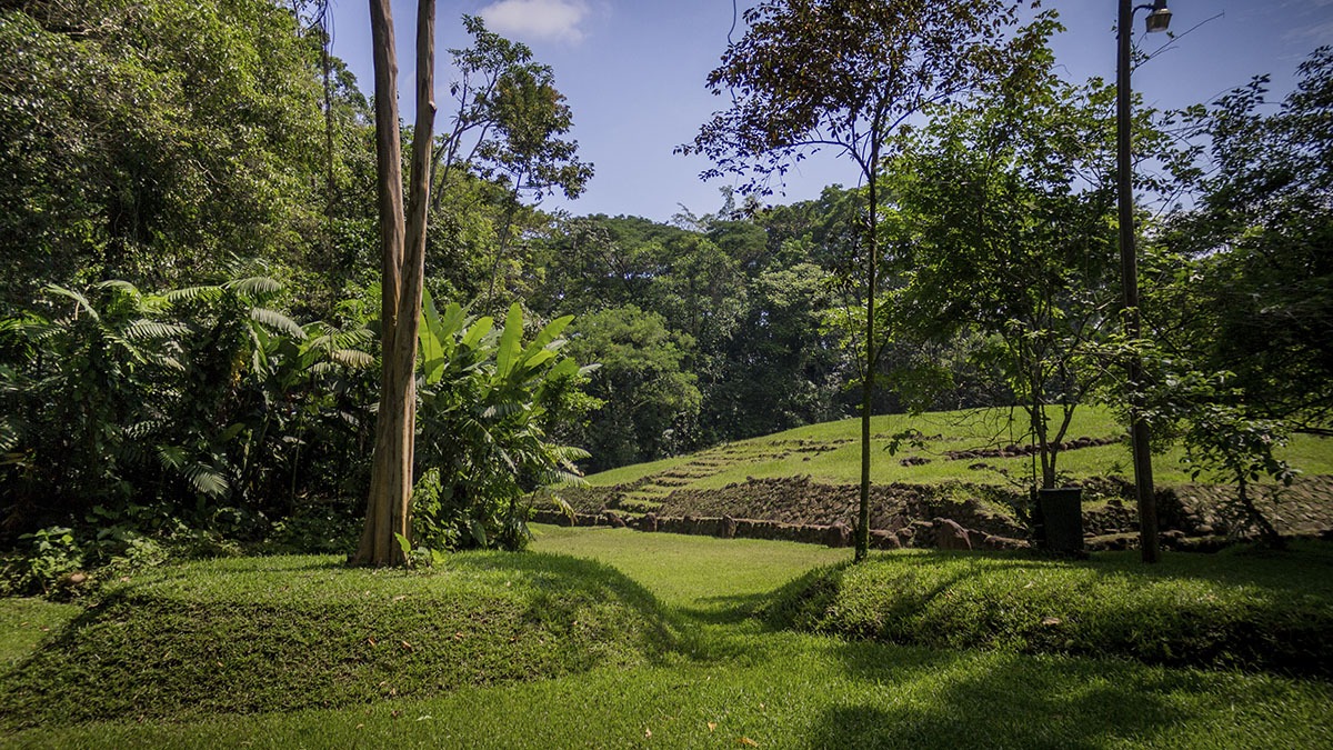
Tak’alik Ab’aj’ is located at about 40 km from the border between Guatemala and the Mexican state of Chiapas and at least at 40 km from the Pacific Ocean. It sits an altitude of approximately 600 meters above sea level in a subtropical moist forest. Its name means “standing stone” in the local K’iche’ Maya language, combining the adjective tak’alik (which means “standing”), and the noun abäj (which means”stone” or “rock”).
Tak’alik Ab’aj’ is located in the the extreme north of Retalhuleu department, at about 185 km from Guatemala City. The site lies among five coffee plantations (Santa margarita, San Isidro Piedra Parada, Buenos Aires, San Elías and Dolores) in the lower foothills of the mountains that receive the name of “Sierra Madre”.
In Tak’alik Ab’aj ‘ you will find Olmec-style sculptures that include what is thought to be a colossal head, petroglyphs and other sculptures. The site has one of the highest concentrations of Olmec-style sculptures outside the Gulf of Mexico. Tak’alik Ab’aj is one of the most representative cities of the first bloom of Maya culture, which occurred around 400 a. C.
When Tak’alik Ab’aj ‘ was at its larger size, the main architecture of the city covered an area of approximately 2 by 4km. Takalik Abaj is divided into four groups: the Central Group, the North Group and the West Group (which are close by), and the last group, called the Southern Group, is located about five kilometers south from the other three. It has a series of nine terraces – some which can measure up to 220 meters wide. The facades of these terraces can be up to nearly 10 meters tall.
Tak’alik Ab’aj’ is bordered on the west by the Nimá River and on the east by the Ixchayá River, both flowing down from the Guatemalan highlands. The location of Tak’alik Ab’aj’ was probably important in the founding of the city, since this channeled important trade routes through the site and controlled access to them.


